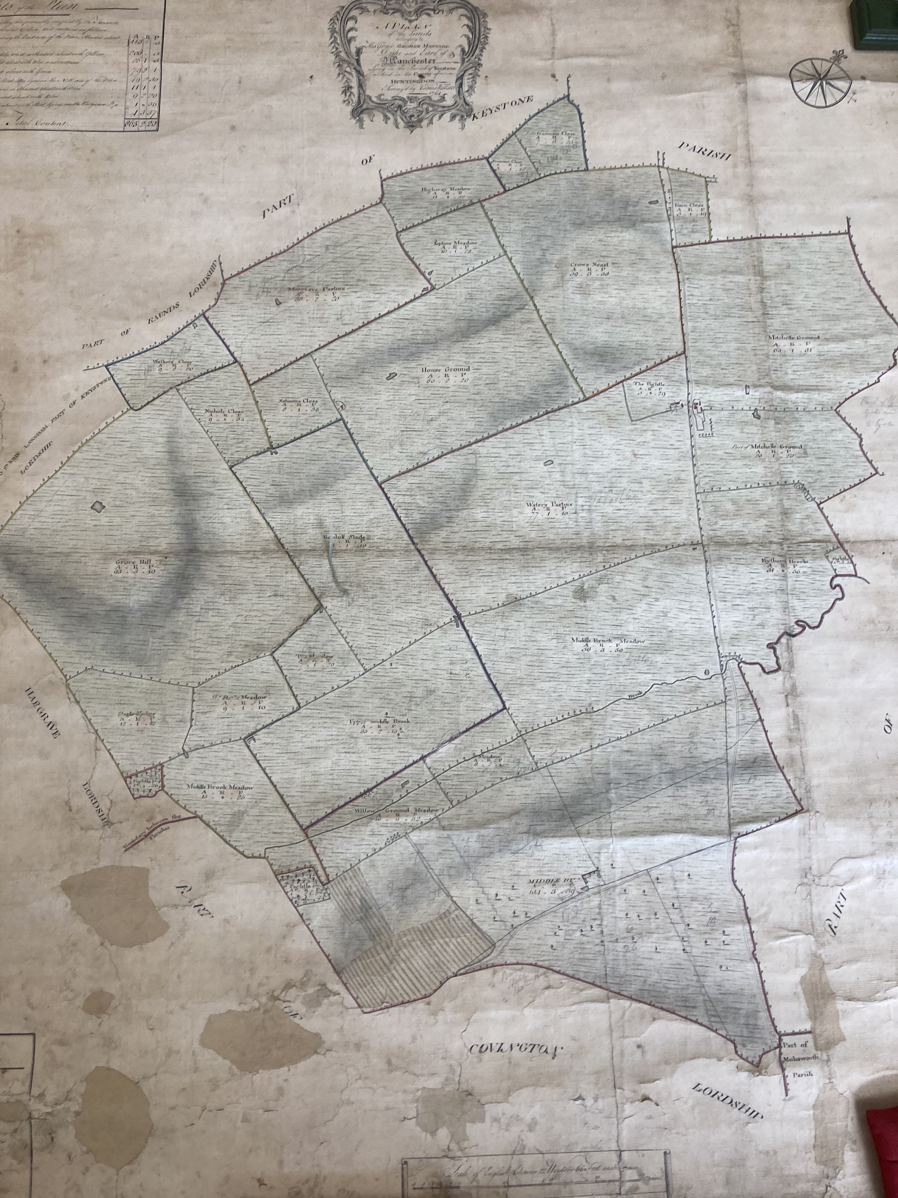
Maps have been around for over 4,000 years they are an excellent way of providing information in a visable format that lets reader easily understand the data.
As with any paper based historic record they deteriorate over time and some details may not be as clear as they once were.
The maps contained within this section have all been digitalised which makes them easier to make available but harder to read.
Acknowledgements - Thanks to The National Archives and Huntingdon Archives for making their documents available.